Aerial Mapping and Survey Services
Field and forestry mapping, imagery, and project-specific data collection.
A plan that fits
your project.
Aerial mapping can provide a visual and spatial reference for land-management decisions. Discuss the required outputs with Terra, including imagery, counts, or LiDAR mapping, so sensor availability, collection methods, and deliverable requirements can be confirmed before a scope is agreed.
Serving Oregon and southwest Washington from Sherwood, Oregon. Scope, equipment, products, and scheduling are confirmed for each project.
Where this service can fit.
- Drone mapping
- Orthomosaic imagery
- LiDAR mapping
- Tree counting
- Stand counts
- Forestry mapping
- Agricultural field mapping
A different way
to reach your land.
- Gain an aerial perspective for field and unit planning.
- Document visible conditions and organize location-based observations.
- Define deliverables around the management question rather than collecting imagery alone.
Details that matter
before takeoff.
- Confirm sensor availability, including any LiDAR requirements, before booking.
- Specify resolution, coordinate system, accuracy expectations, and deliverable formats.
- Review canopy visibility, weather, flight access, and any ground-control needs.
- Boundary, engineering, or certified survey work may require a licensed professional; imagery alone does not establish legal boundaries.
Why consider
a drone?
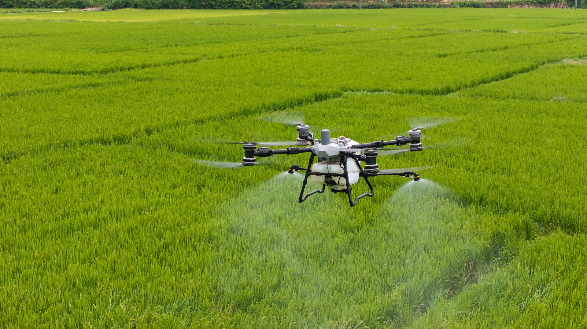
Drone collection may be useful for localized, detailed imagery and selected mapping projects. Ground measurements remain important where features are obscured or verified survey accuracy is needed; crewed aircraft or other data sources may suit larger areas. The appropriate method depends on the deliverable, not a blanket accuracy claim.
Performance depends on the site, equipment, materials, and conditions. Drone use does not itself guarantee reduced drift, chemical savings, a particular result, or regulatory permission. All applications must meet applicable requirements and product-label directions.
Request a Quote
Aerial Mapping and Survey Services
Share your location, acreage, and objectives. Your request will include this service.
- 01Customer
- 02Service
- 03Project
- 04Maps
- 05Review