Forestry Aerial Applications
Application planning for forestry units, site preparation, and reforestation.
A plan that fits
your project.
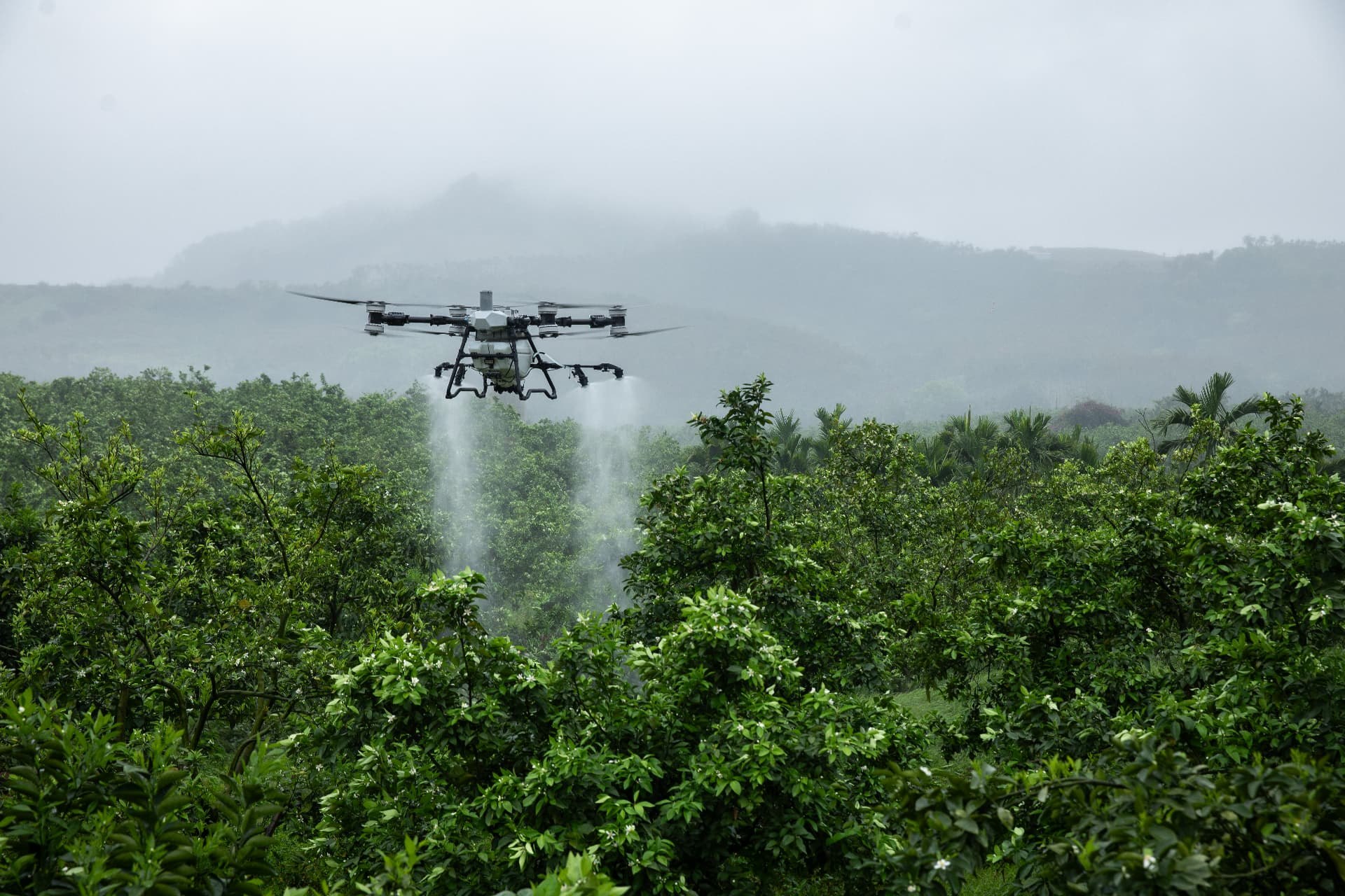
Support forest management objectives with aerial applications tailored to unit boundaries, vegetation conditions, and treatment plans. Drone operations can be considered for forestry sites where ground access is limited or terrain complicates conventional equipment use.
Serving Oregon and southwest Washington from Sherwood, Oregon. Scope, equipment, products, and scheduling are confirmed for each project.
Where this service can fit.
- Forestry site preparation
- Herbicide applications
- Vegetation management
- Reforestation support
- Clear-cut treatment
- Forestry unit spraying
A different way
to reach your land.
- Access selected treatment areas without driving application machinery through the unit.
- Plan around mapped unit boundaries and areas to exclude.
- Consider targeted treatment for smaller or irregular forestry units.
Details that matter
before takeoff.
- Review terrain, obstructions, landing areas, and safe access for the crew.
- Confirm treatment objectives, target vegetation, and product-label requirements.
- Account for nearby water, sensitive vegetation, and weather before scheduling.
Why consider
a drone?
A drone may be useful for steep, irregular, or hard-to-access units where ground equipment is impractical. Ground equipment or crewed aircraft may be more suitable for other unit sizes, payload needs, and treatment plans; the site review determines the appropriate approach.
Performance depends on the site, equipment, materials, and conditions. Drone use does not itself guarantee reduced drift, chemical savings, a particular result, or regulatory permission. All applications must meet applicable requirements and product-label directions.
Request a Quote
Forestry Aerial Applications
Share your location, acreage, and objectives. Your request will include this service.
- 01Customer
- 02Service
- 03Project
- 04Maps
- 05Review